Riverhills
View Full Width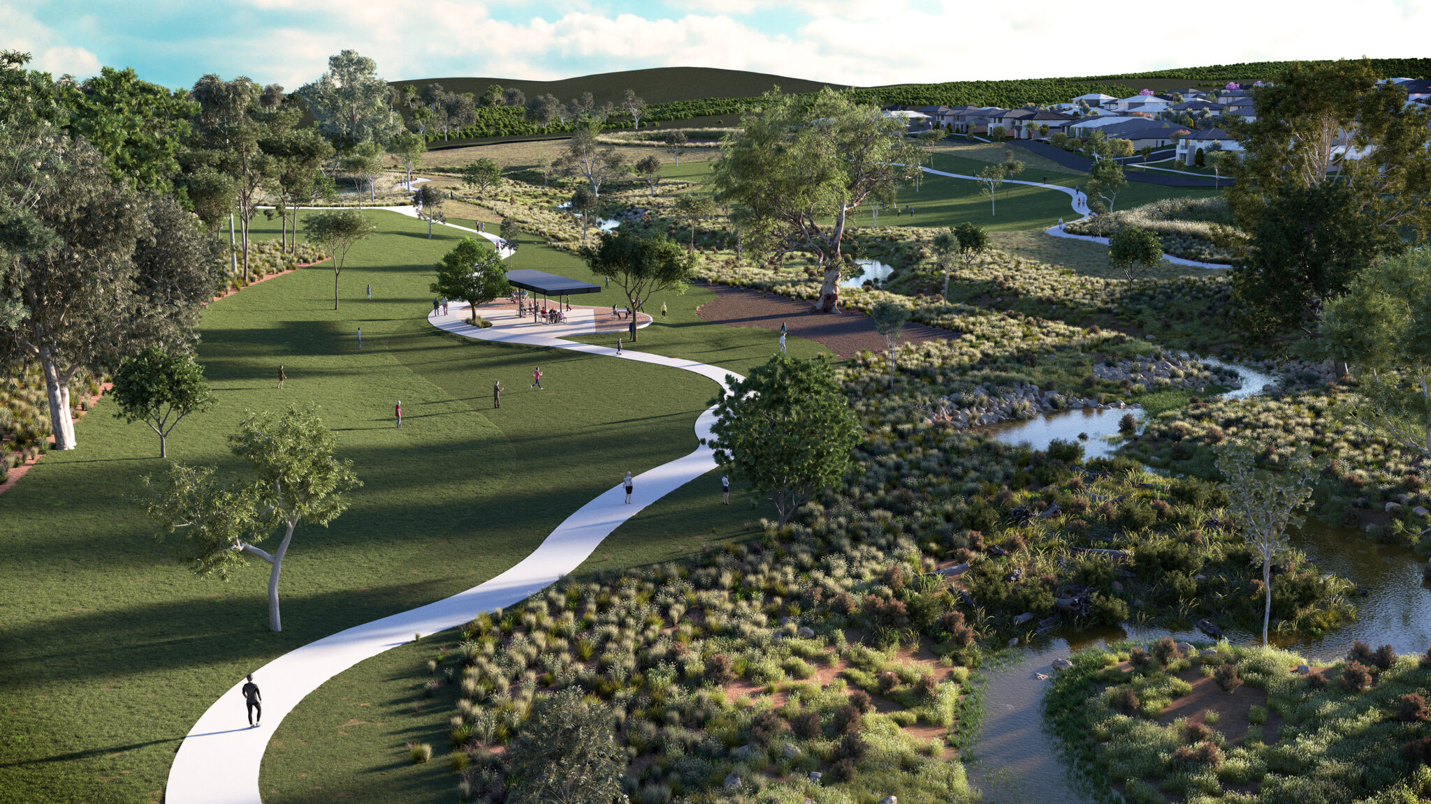
Riverhills is a residential estate set directly adjacent to Darebin Creek, one of the most significant waterways in the Port Phillip catchment.
Services
Civil Engineering Construction Consultancy Landscape Architecture Surveying and Spatial Urban Design Visual Media Water Engineering
Client
Dahua Australia
Location
Wollert, VIC
Spiire was engaged by Dahua Group to provide civil engineering, water engineering, landscape architecture, surveying and visual media services at Riverhills.
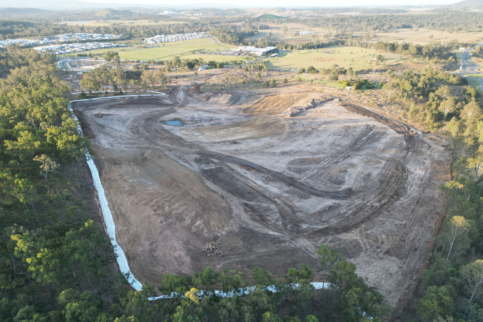
The site, which has been used as a quarry in recent years, is bounded by the future E6 freeway, green wedge land and the 220ha Quarry Hills Bushland Park. A planning permit was issued in December 2019 and stage construction, in collaboration with APD and Winslow Constructions, commenced in September 2020.
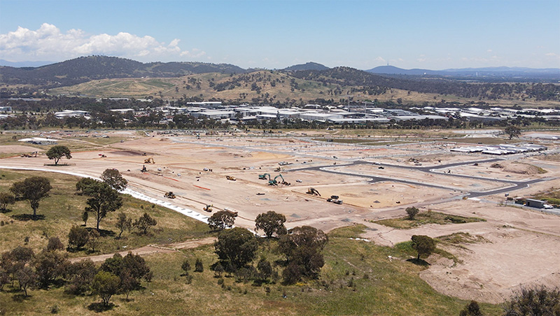
Spiire’s integrated team are delivering the design and construction consultancy services for all civil and water infrastructure to deliver the project including kilometres of 375mm potable and recycled watermains, outfall sewers, sediment basins, wetland and subdivisional works.
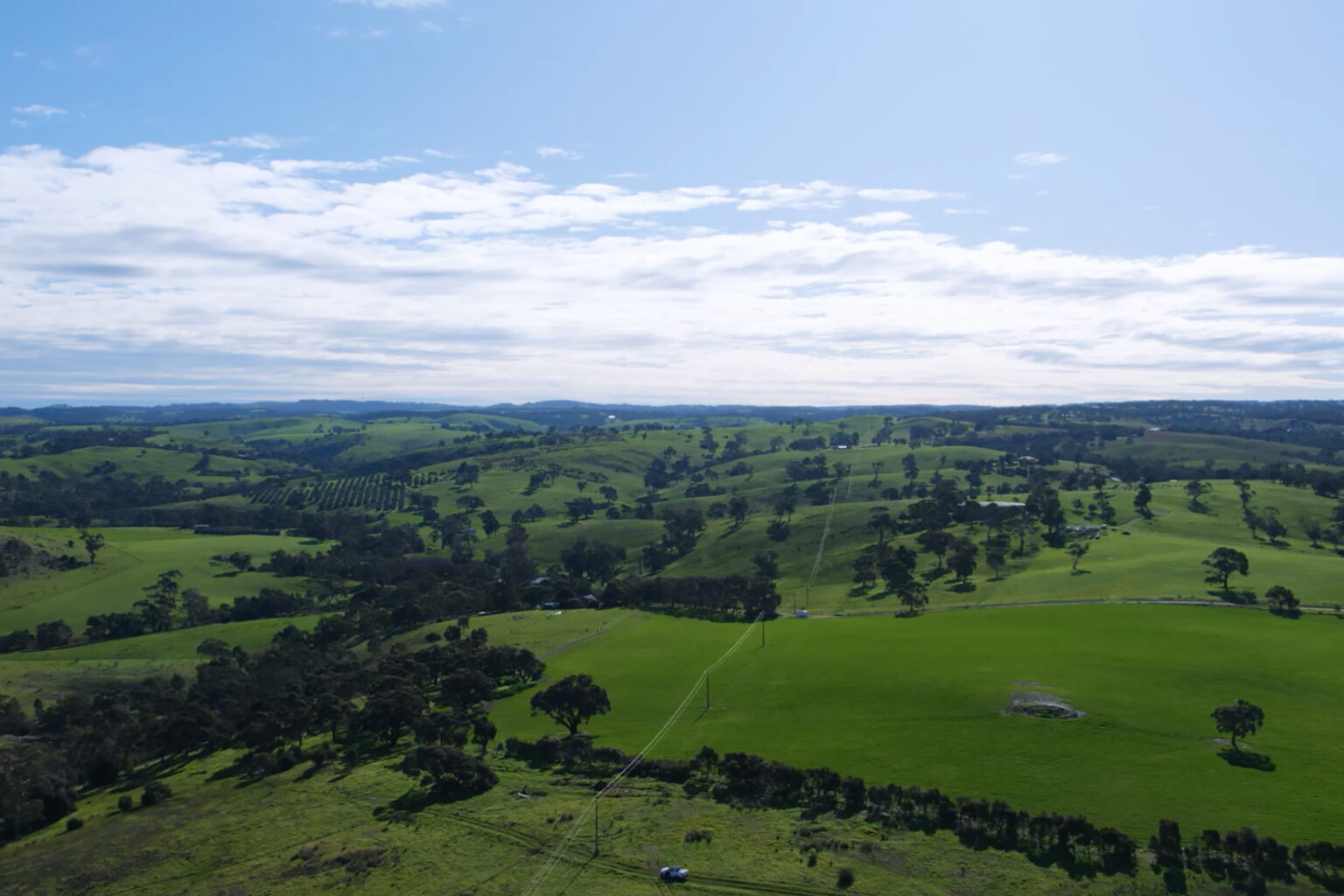
Our Surveying team are providing all cadastral, engineering and construction surveying requirements as well as drone/UAV data capture services and aerial mapping.
Our Landscape Architecture team provided design and construction consultancy services for the estate’s parklands and worked alongside our Water Engineering team in the design and construction of the wetlands.
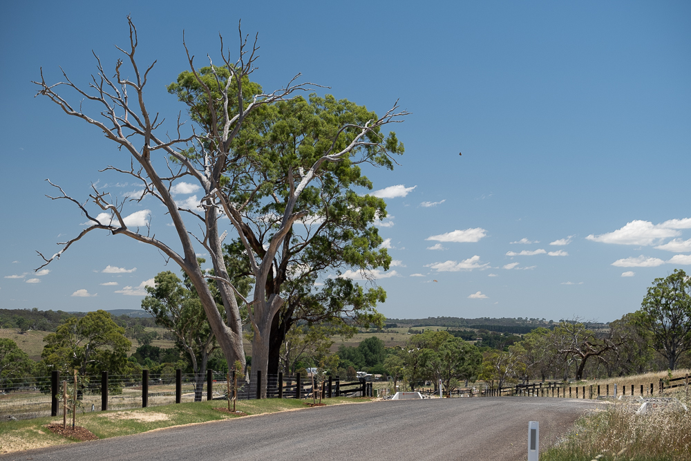
The team have encountered several challenges throughout project delivery including the conservation overlay that covers Darebin Creek which dissects the estate. The site has numerous dry stone walls, River Red Gums, Aboriginal and European cultural heritage which were required to be maintained while delivering a high quality development meeting current standards. The topography is also quite variable with the land west of Darebin Creek relatively flat and the eastern side extremely steep, providing a challenging set of conditions for our engineers.
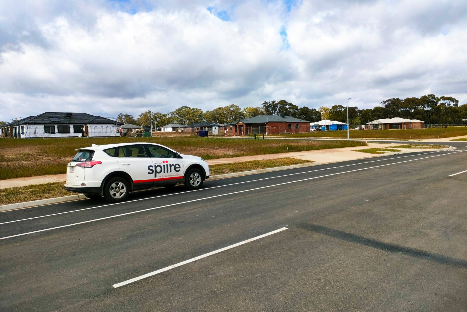
The initial civil works included upgrading Lehmanns and Bindts Roads from rural roads to an urban standard. Council required as many River Red Gums within Lehmanns Road to be protected through the design approval. Our team managed to retain 28 trees in conjunction with work from the project arborist and Council. Sufficient space was also made available for Yarra Valley Water to be able to deliver critical water infrastructure within the available space.
Immersive experience and animation
Our Visual Media team delivered a series of animations and 3D renders for the estate’s sales office, as well as a virtual reality 360 experience through VR headsets. These engagement tools allow potential customers to envisage the proposed design of the project, set amongst the scenic landscape of the Riverhills site.
Our artists worked closely with our Landscape Architecture team to ensure an accurate depiction of native landscapes and tree/plant species, creating realistic and believable visualisations of natural elements.
The team created a 30-second animation which takes the viewer on a visual journey through the site’s design including parklands, waterways and public walkways. The future development is brought to life with people and movement, capturing a sense of atmosphere that people can believe in and connect with.
Our team created a VR experience utilising three viewpoints which were enhanced to include future streetscapes, housing, wetland, walking paths, community facilities and established plants and trees. The viewer begins their experience with a 360 panoramic bird’s eye view of the proposed development and can choose from other points within that view to experience an enhanced 360 tour.


